Remote Sensing Applications
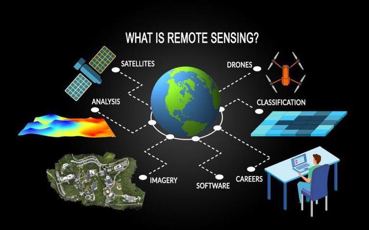 Remote Sensing and EO Source: GISGeography
Advances in Earth observation tools have empowered researchers to address a wide spectrum of environmental and geophysical challenges. My remote sensing journey has encompassed diverse geospatial applications that integrate multi-sensor data, image processing workflows, and field-based validation to better understand dynamic Earth systems. One area of focus has been urban climate analysis, where I assessed the relationship between land use/land cover (LULC) changes and the urban heat island (UHI) effect in Jaipur, India. By analyzing decadal satellite data from 2009 to 2019, I quantified thermal patterns associated with urban expansion and their implications for sustainable city planning. In the domain of volcanic hazard monitoring, I independently processed Sentinel-1 SAR data to map surface deformation caused by the Taal volcano eruption. This involved generating RTC backscatter images and LOS interferograms to assess displacement magnitude and direction, demonstrating the utility of InSAR for disaster response and risk evaluation.
My work on cryospheric mapping involved classifying SAR data from Sentinel-1 and RADARSAT to identify surface features in polar regions like Greenland and Svalbard. I supported this with fieldwork in the Indian Himalayas, collecting snow parameters to improve satellite-based model validation and geophysical interpretations under extreme conditions. For forest structure analysis, I participated in a hackathon where I modeled canopy height and terrain using airborne LiDAR point clouds. I derived 3D structural layers and canopy metrics through integrated LiDAR and high-resolution DEM processing, facilitating forest monitoring and ecological studies.
Lastly, I developed multiple environmental monitoring tools using Google Earth Engine. These web apps leveraged Sentinel-1, Sentinel-2, Landsat, and MODIS data for applications such as oil spill detection, forest cover change, and temperature anomaly mapping. They incorporated interactive dashboards and real-time visualization, supporting both scientific research and public awareness.
Together, these projects showcase a multi-disciplinary approach to solving complex Earth science problems using remote sensing, spatial analytics, and advanced modeling techniques.
Achievements:
- Published article in Songklanakarin Journal of Science and Technology (SJST), Volume 44, No. 4, Jul-Aug (2022). Investigated land use/land cover changes and their role in intensifying the urban heat island (UHI) effect over a decade using remote sensing data and thermal imagery in Jaipur, India.
- Performed independent research mapping Surface Deformation Due to the Taal Volcano Eruption using Sentinel-1 SAR Independent project using InSAR and RTC-based displacement analysis Detected volcanic-induced ground displacement using LOS interferometry and directional deformation analysis, combining RTC backscatter generation and spatial analytics in QGIS and Python
- Performed collaborative study on Cryosphere Feature Mapping using SAR in Polar Regions Project at IIT Bombay with field support in the Indian Himalayas Classified snow and ice surface features in Greenland and Svalbard using Sentinel-1 and RADARSAT SAR data, integrated with in situ snow measurements for model validation and geophysical assessment.
- Performed Forest Structure Modelling using LiDAR Hackathon project during the Beyond Dead Wood (organised by Ultrahack and Location Innovation Hub, Helsinki) initiative Modeled canopy structure and terrain using airborne LiDAR point clouds and high-resolution DEMs. Computed forest metrics through Python-based raster analytics and 3D structural mapping.
- Developed interactive applications to monitor environmental changes, including oil spill detection, forest cover dynamics, and land surface temperature anomalies. Leveraged multi-sensor datasets such as Sentinel-1, Sentinel-2, Landsat, and MODIS, and integrated real-time dashboards to support both scientific research and public engagement.
📖 References
- Tanisha Ameriya and Udit Asopa, and Charu Jhamaria, “Assessing role of LULC change in inducing UHI in Jaipur district, Rajasthan, India: A case study from 2009 – 2019,” Songklanakarin J. Sci. Technol, vol. 44, no. 4, pp. 1032–1039, Apr. 2022, doi: https://doi.org/10.14456/sjst-psu.2022.135. Available: https://doi.nrct.go.th/admin/doc/doc_629765.pdf.
- Udit Asopa, Google Earth Engine App, May 2021. Available: https://uditasopa.users.earthengine.app/
Udit Asopa
Remote Sensing Data Specialist (official title: SAR Remote Sensing Engineer)
I specialize in SAR and GIS-based Earth observation workflows for environmental monitoring, disaster response, and scientific analysis. With a focus on automation, reproducibility, and applied geospatial intelligence, I contribute to building scalable, data-driven solutions.