SAR Techniques and Fundamentals
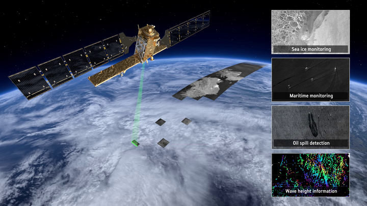 Sentinel-1 satellite and examples of land applications: Monitoring of earthquakes, urban areas, land subsidence and flooding mapping Source: ESA
Polarimetric Synthetic Aperture Radar (PolSAR) has opened new dimensions in remote sensing by enabling detailed characterization of surface and volume scattering mechanisms. Its ability to capture the polarization state of electromagnetic waves allows researchers to extract nuanced information about land cover types, structural features, and geophysical properties. Among the various SAR technologies, PolSAR stands out for its effectiveness in analyzing complex natural environments using model-based and data-driven decomposition techniques.
My work in PolSAR focuses on understanding and interpreting the scattering behavior of different targets across multiple wavelengths, especially L-band and P-band data. Through projects such as scattering characterization near Candle Lake using NASA’s UAVSAR data, I explored the limitations of conventional decomposition models and emphasized the potential of roll-invariant parameters for more reliable analysis. This research highlighted how different features like vegetation and water bodies respond distinctively at different frequencies, revealing their structure and depth characteristics.
Further extending into three-dimensional imaging, I applied PolSAR tomography on L-band UAVSAR datasets to investigate the vertical distribution of scatterers in forested terrains. Additionally, I contributed to refining PolSAR calibration methodologies to improve measurement reliability in dual and full-polarimetric systems. Together, these efforts demonstrate the potential of PolSAR to deepen our understanding of Earth’s surface and support applications ranging from ecosystem monitoring to geophysical modeling.
Achievements:
- Published book chapter in proceedings of International Conference on Unmanned Aerial System in Geomatics (2019)
- Published thesis based article in Earth and Space Science (2020)
- Published article in Advances in Space Research (2021)
📖 References
- S. Kumar, A. Babu, S. Agrawal, U. Asopa, S. Shukla, and A. Maiti, “Polarimetric calibration of spaceborne and airborne multifrequency SAR data for scattering-based characterization of manmade and natural features,” Advances in Space Research, Feb. 2021, doi: https://doi.org/10.1016/j.asr.2021.02.023.
- Udit Asopa and Shashi Kumar, “UAVSAR Tomography for Vertical Profile Generation of Tropical Forest of Mondah National Park, Gabon,” Earth and Space Science, vol. 7, no. 10, Sep. 2020, doi: https://doi.org/10.1029/2020ea001230.
- Udit Asopa and Shashi Kumar, “Multi Frequency Polarimetric Decomposition of UAVSAR Data,” Lecture Notes in Civil Engineering, pp. 327–337, 2020, doi: https://doi.org/10.1007/978-3-030-37393-1_28.
Udit Asopa
Remote Sensing Data Specialist (official title: SAR Remote Sensing Engineer)
I specialize in SAR and GIS-based Earth observation workflows for environmental monitoring, disaster response, and scientific analysis. With a focus on automation, reproducibility, and applied geospatial intelligence, I contribute to building scalable, data-driven solutions.