🌍 Core Competencies 🛰️
Foundational capabilities shaping my geospatial, analytical, and earth observation practice
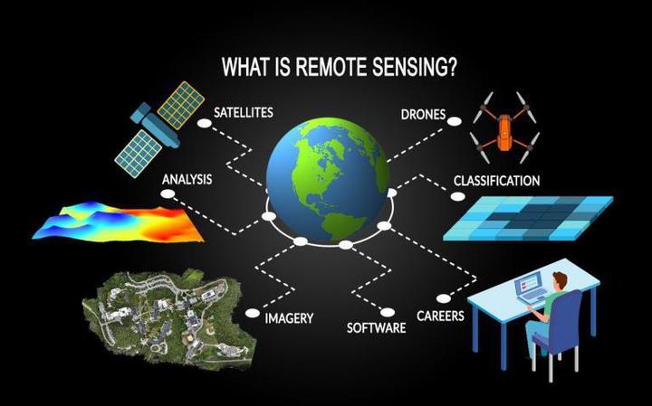 Remote Sensing and EO Source: GISGeography
Remote sensing fuels modern geospatial intelligence—bridging environmental monitoring, disaster response, and spatial decision-making through advanced Earth Observation analytics
| 🛰️ Geospatial Intelligence | 📡 Remote Sensing Applications | 🔄 Raster Workflow Engineering | 📊 Statistical & ML Methods | 🌐 Multiscale Analysis |
Satellite SAR data analytics (X, C, L bands) Multispectral and hyperspectral imagery analysis DEM generation and terrain surface modeling Land use/land cover dynamics and transitions Topographic correction and geomorphological analysis | Post-disaster impact mapping and response support Urban climate modeling and heat island detection SAR-based snow and glacier characterization Deforestation and forest health monitoring Urbanization trends and land consumption analysis | Multi-sensor preprocessing (RTC, speckle filtering) Time-series change detection automation Supervised/unsupervised raster classification Hexgrid and tile-based pipeline design Real-time raster-to-vector product conversion | Spatiotemporal trend analysis using SAR data Multivariate regression & clustering models Outlier & anomaly detection for disaster insights Dimensionality reduction for raster analytics Impact score modeling for spatial risk profiling | Building-level exposure and footprint analysis Parcel-to-region aggregation using spatial grids Dynamic downscaling for urban/rural transitions Resolution-aware modeling across nested scales Cross-scale spatial normalization and fusion |
Udit Asopa
Remote Sensing Data Specialist (official title: SAR Remote Sensing Engineer)
I specialize in SAR and GIS-based Earth observation workflows for environmental monitoring, disaster response, and scientific analysis. With a focus on automation, reproducibility, and applied geospatial intelligence, I contribute to building scalable, data-driven solutions.