What's New & Updates
Latest professional updates, insights, and LinkedIn highlights
Recent LinkedIn Highlights
Latest Professional Updates
Featured Posts & Announcements
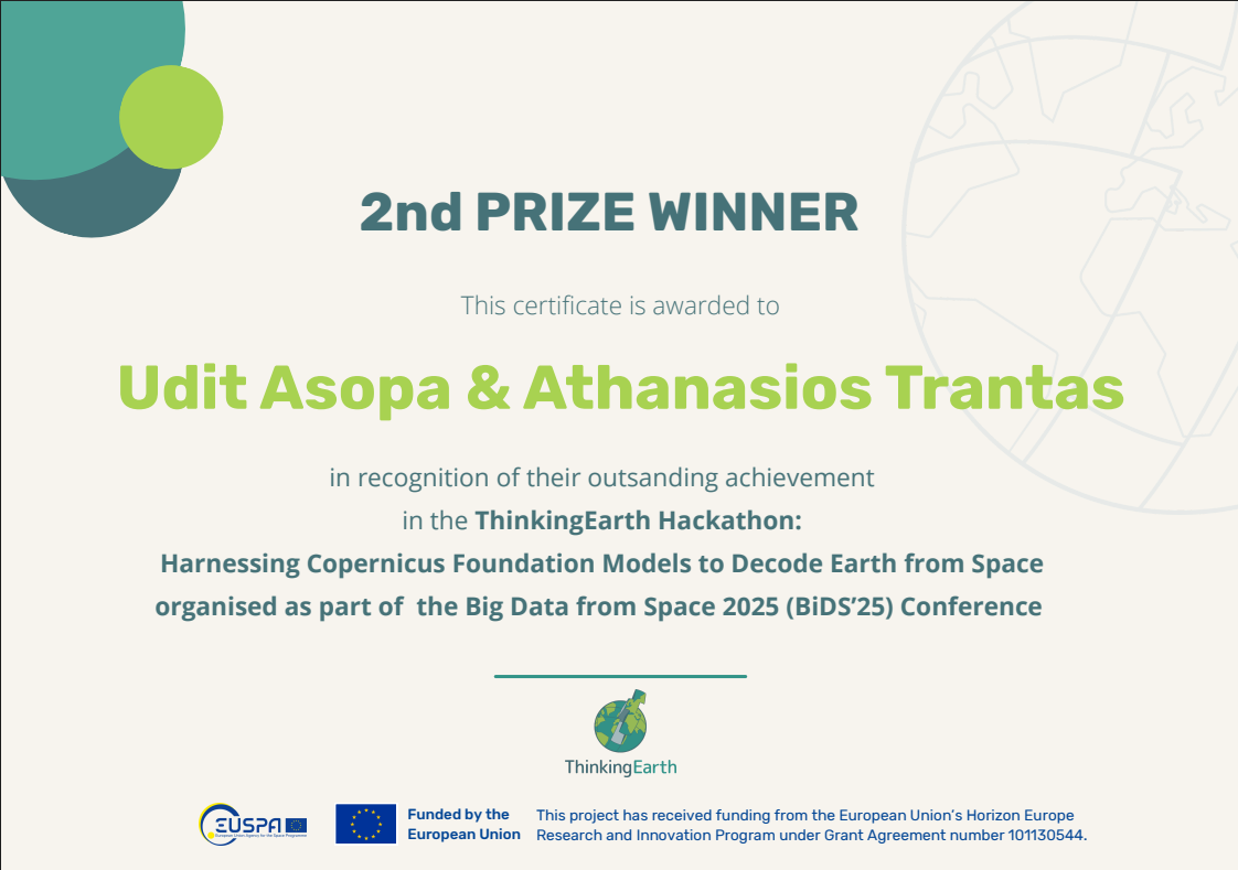
Hackathon Victory: 2nd Place at ThinkingEarth BiDS25
Link: View on LinkedIn, Github Repo “Disaster-GeoRAG”, Hackathon Webpage, Conference Page
Major Achievement: Won 2nd Place at the ThinkingEarth hackathon during Big Data from Space (BiDS25) conference in Riga, Latvia! Built “Disaster-GeoRAG” - a cutting-edge Retrieval-Augmented Generation system combining Qwen Vision-Language Model with FAISS embeddings for satellite imagery disaster detection.
Key Innovation: Created an explainable AI system that grounds answers in authoritative knowledge from Copernicus EMS and NASA Earthdata, producing structured outputs with disaster type, confidence levels, and transparent rationale. The system reduces false positives and improves trust in AI for Earth observation applications.
Collaboration: Partnered with brilliant colleague Thanasis Trantas and showcased skills alongside experts from NVIDIA, Technical University of Munich, National Observatory of Athens, and other leading organizations. Built a working prototype with Gradio app in under 8 hours!
GitHub Portfolio & Open Source Projects
Featured Project: Vision Text Extractor - A comprehensive OCR and document processing tool that extracts text from images using multiple AI providers. Supports both privacy-first local models (SmolVLM, LLaVA) and cloud-based solutions (OpenAI GPT-4o). Features include custom prompts, web URL processing, and extensive documentation. Built with Python and Pixi for easy installation and cross-platform compatibility.
Technical Focus: Specializing in computer vision, document AI, geospatial analytics, and machine learning applications. Active contributor to projects involving satellite imagery analysis, disaster detection systems, and educational resources for the tech community.
IBM Generative AI Certification Series
Professional Development: Successfully completed IBM’s comprehensive Generative AI course series, mastering advanced prompt engineering, LangChain framework, and Flask application development. Gained expertise in building RAG applications, model evaluation, and creating context-aware AI solutions for real-world applications.
Career Growth & Remote Sensing Innovation
Links:
From Efficient Foundation Models to AI Agents for Foundation Model Recommendation to Advance Earth Observation
Deep Learning for SAR Image Analysis
Toward Trustworthy AI: Principled and Automated Interpretability in Neural Networks
Career Update: Continuing professional journey at ICEYE Oy in Finland, focusing on advanced SAR (Synthetic Aperture Radar) data analysis and machine learning applications in Earth observation. Contributing to cutting-edge research in geospatial analytics and remote sensing technologies for real-time monitoring and analysis.
Blog-Style Updates
October 2025 Updates
- New Certifications: Recently completed IBM Generative AI courses - View Details
- Research Focus: Expanding work in geospatial ML applications
- Professional Growth: Continuing journey at ICEYE Oy, Finland
Coming Up
- Attending another hackathon 10th CASSINI Hackathon: EU Space for Consumer Experience!
- Exploring advanced LLM applications in remote sensing
- Looking forward to new collaboration opportunities
- Continuous website improvements and content updates
Connect & Follow
Stay connected for more updates:
- LinkedIn: My LinkedIn Profile – uditasopa
- GitHub: My GitHub – udit-asopa
- Email: udit.asopa@gmail.com
Last updated: October 2025
Udit Asopa
Data Scientist | Geospatial Data Scientist
I build reproducible Python workflows, machine learning solutions, and geospatial analytics systems that transform complex environmental and operational data into actionable insights for science, business, and decision-making.